Stand on the summit
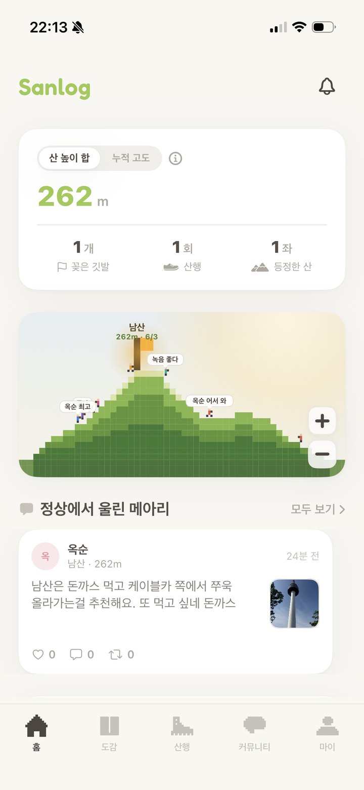
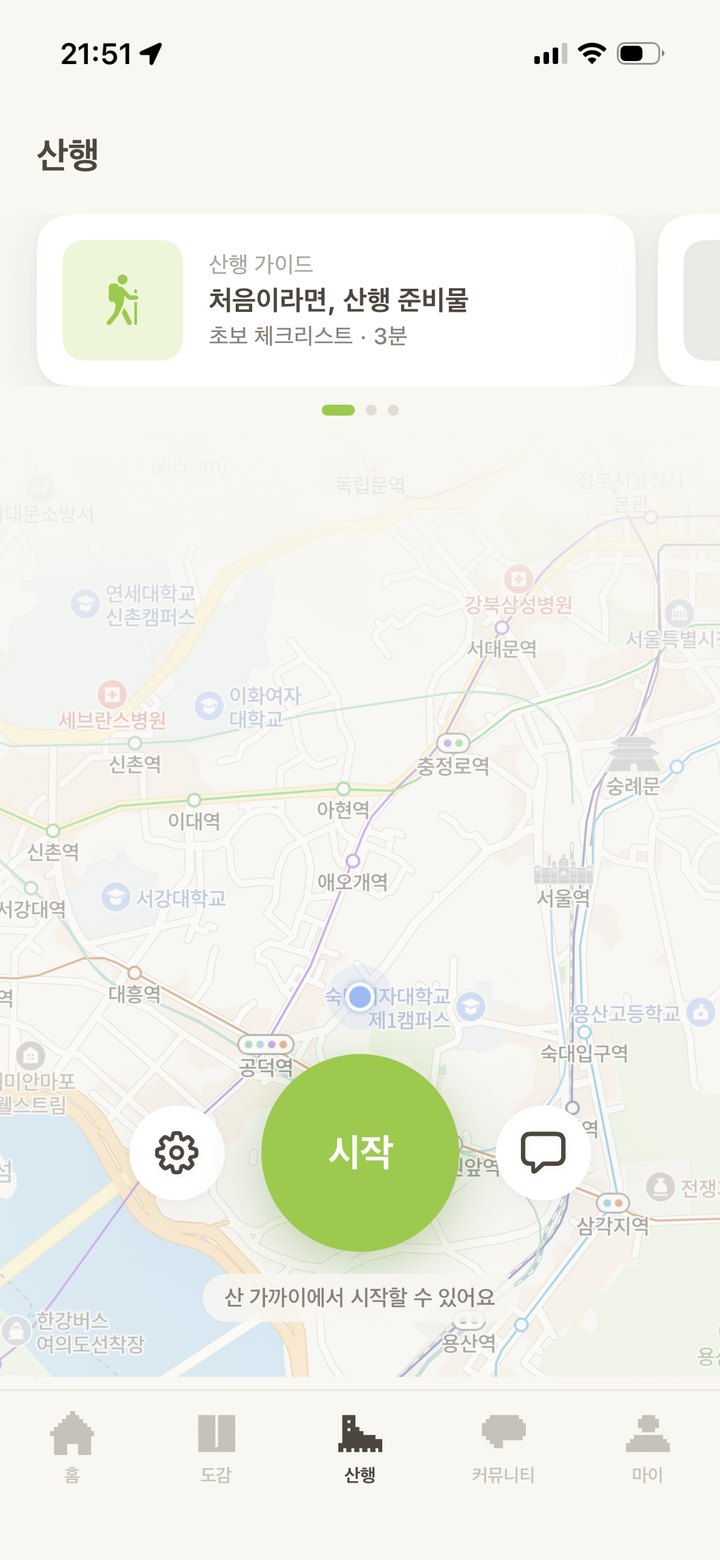
GPS follows every step, and a flag is planted the moment you reach the summit. Elevation, slope, and time are recorded automatically, and you can also check in using the location of a summit photo.
GPS follows every step, and a flag is planted the moment you reach the summit. You can also check in with a photo taken at the top. Record your hikes in a special way and stack up your ridgeline, one peak at a time.
Available on the App Store for iPhone · Android coming soon
Climb, share, and keep. A hike that stays with you long after the descent.
GPS follows every step, and a flag is planted the moment you reach the summit. Elevation, slope, and time are recorded automatically, and you can also check in using the location of a summit photo.
Chat with people climbing right now. Cheer on fellow hikers on the same mountain with Altitude chat.
A line left at the summit and the day's journal entry pile up over time. Your year's peaks come together as a single picture on your ridgeline.
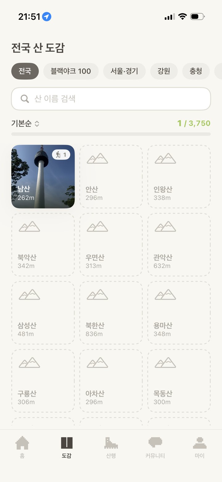
Pick a country and its peak collection and famous-peak lists open up. The app is available in 한국어, English, Deutsch, and 日本語.
Peak counts are based on what the collection contains and keep growing. Some features (Black Yak 100 Famous Mountains, hiking gear price tracking, and Kakao login) are available only in Korea.
From a peak collection of 3,750 mountains to Echoes from the summit, all in your hand.

← Swipe sideways to see more →
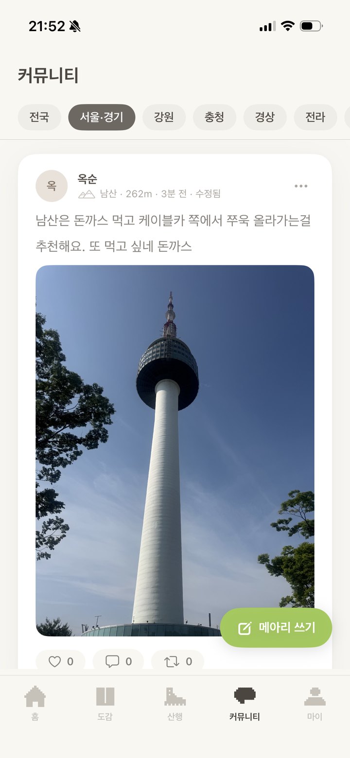
A single line that only those who reach the summit can leave. Today's mountains gather here.
The wind is great today. Take your time getting up here.
♥ Cheers 12Finally made it to Yeonjudae on my third try. This view makes up for everything.
♥ Cheers 28Another summit check-in today. One peak on the way home from work.
♥ Cheers 7Sanlog is now on the App Store. See you at the summit.
Available on the App Store for iPhone · Android coming soon